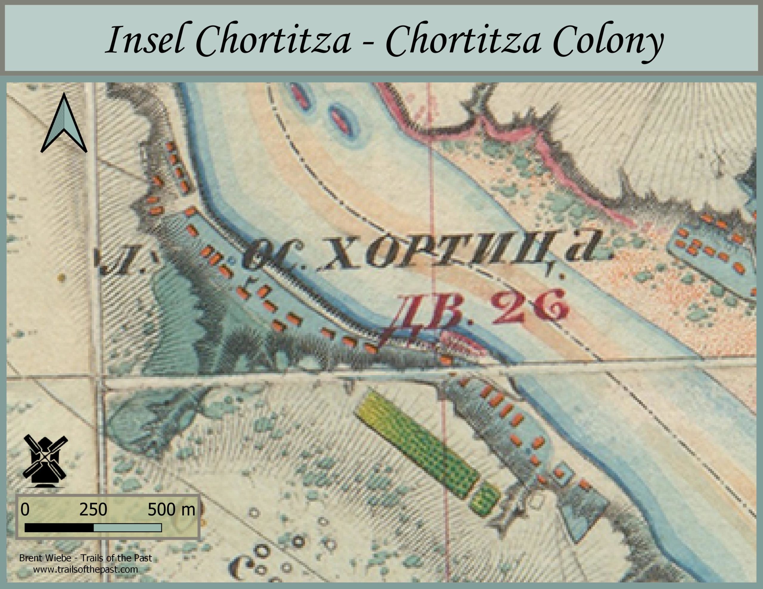
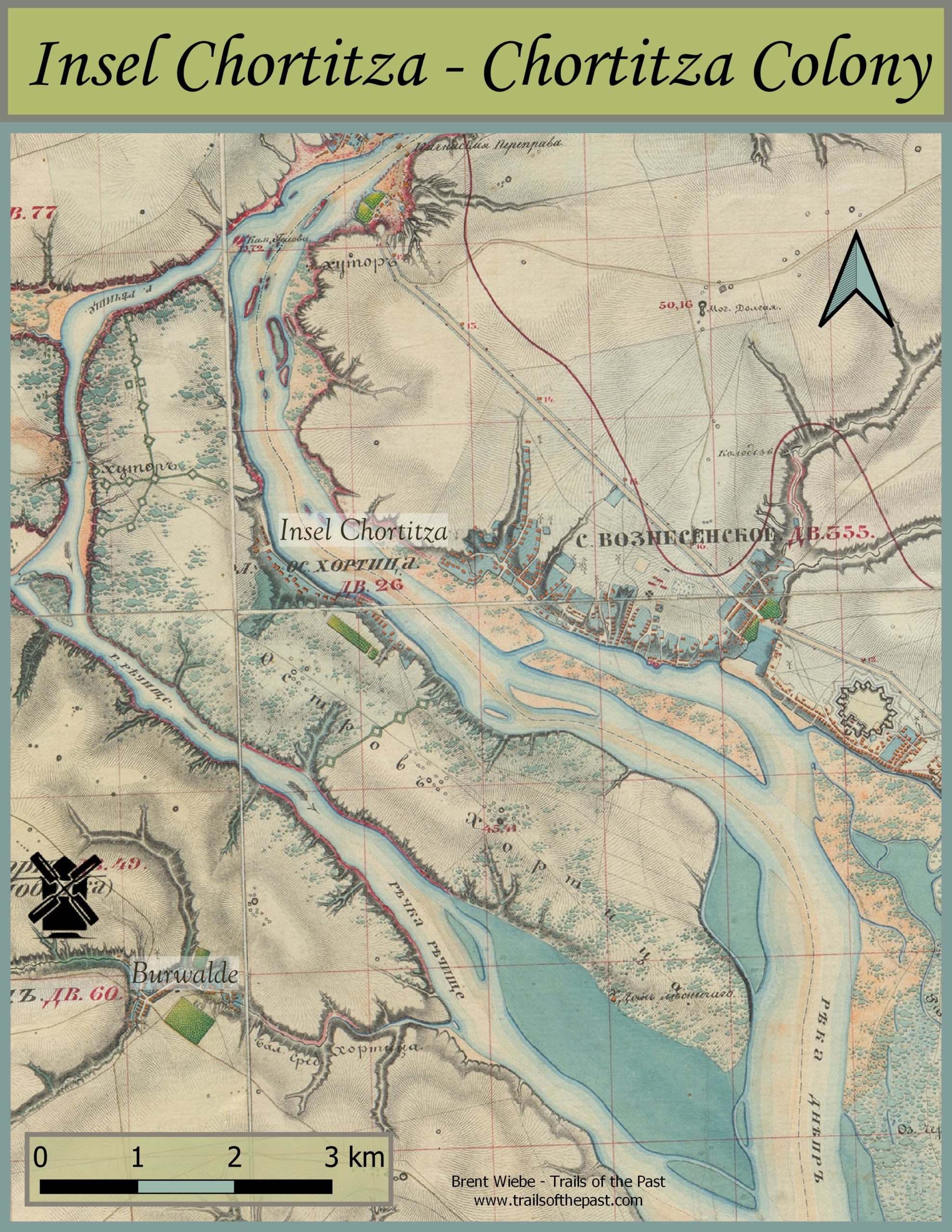
Map of Insel Chortitza with Neighbouring Villages, 1850's
1848 Village Report
(Rough Translation) Insel-Chortiz, village home of the deputy Hoeppner, who moved to the island bearing the same name[Chortitza], is 7 wersts long and 3 wersts wide, with 11 families. At the time of settling there were 2 houses for the forestkeepers and the garden created by Prince Potemkin. The village is situated on the bank of the left bank of the Dnieper River, with the steep edge of the high land like a castle wall behind it. It is subject to flooding when the Dnieper is at its highest but the trees and vegetable gardens give it a pleasant appearance. The whole island contains a sandy soil and its fields yield quite a profit in wet years. In dry and hot summers, however, the work of cultivating the soil is difficult, and is not worth the work, effort and expense. Also the grass on the slopes is very thin, but fine for cattle, with the beautiful drinking water in the Dnieper river. The village is especially good for growing trees and also well situated for fishing, which, however, is only a side business and does not exceed 12 rubles silver annually. The large forest on the lower tip of the island is not the property of this village, but belongs to the entire Chortiza community, which also maintains a herder in it. Only the grassy areas in the forest are used by this community exclusively for haymaking. The original number of settlers was 12.
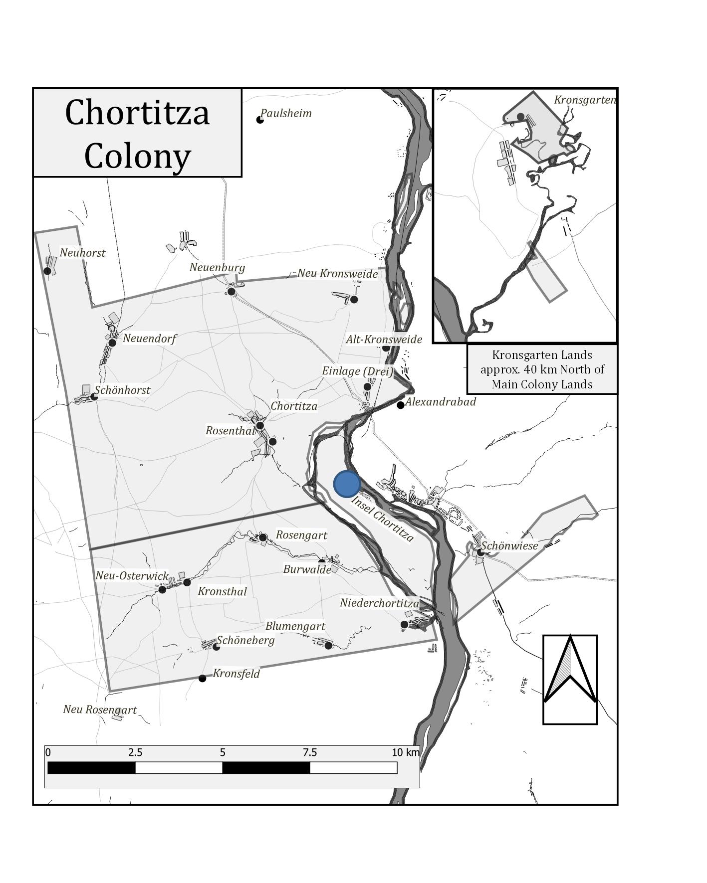
Overview of Chortitza Colony with Insel Chortitza
Sources
Insel Chortiz , 1848 in: M. Woltner, ed., Die Gemeindeberichte von 1848 der deutschen Siedlungen am Schwarzen Meer (Leipzig: Hirzel, 1941), pp. 11. https://chort.square7.ch/kb/woltner.pdf.
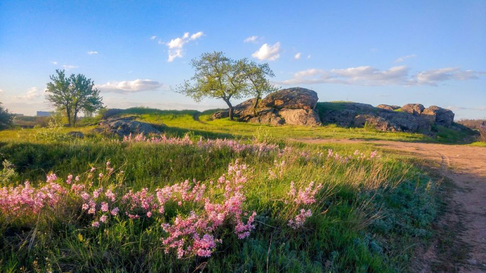
Spring Today Insel Choritza - https://chort.square7.ch/FB/4/p66095.jpg
The beautifully coloured Russian maps featured here are from the 1850’s. Their purchase was made possible by the generous funding of the Plett Foundation.