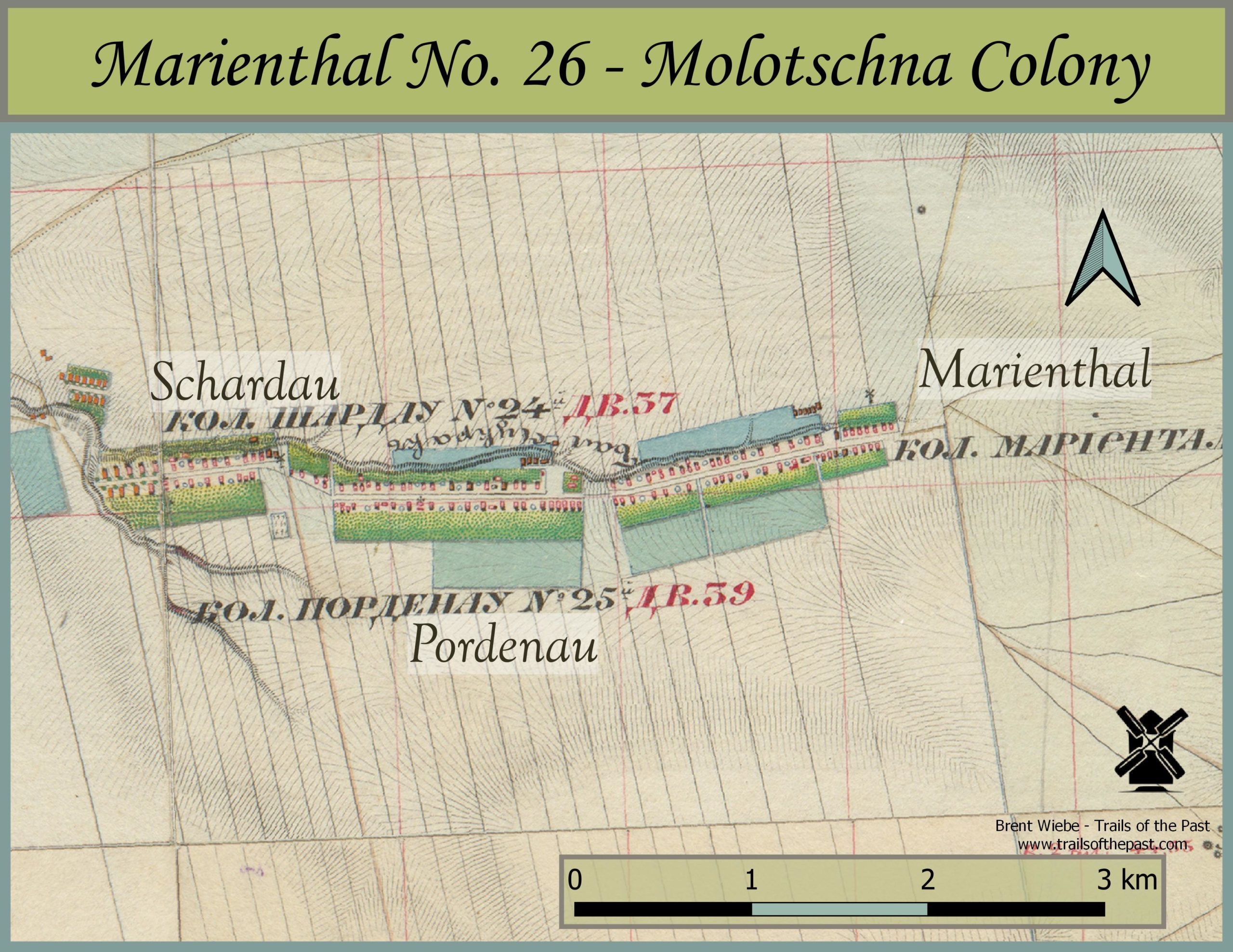
Map of Marienthal and Neighbouring Villages, 1850's
Marienthal was settled initially by 21 settlers, who arrived over the first couple of years, starting in 1820. The village was named in honor of Maria, the Czar’s mother.
Grasshoppers, winter storms, hail, and horse thievery all contributed to the hard times during the first few years. By the middle of the century, however, the agriculture production had progressed to the average of the Molotschna colony.
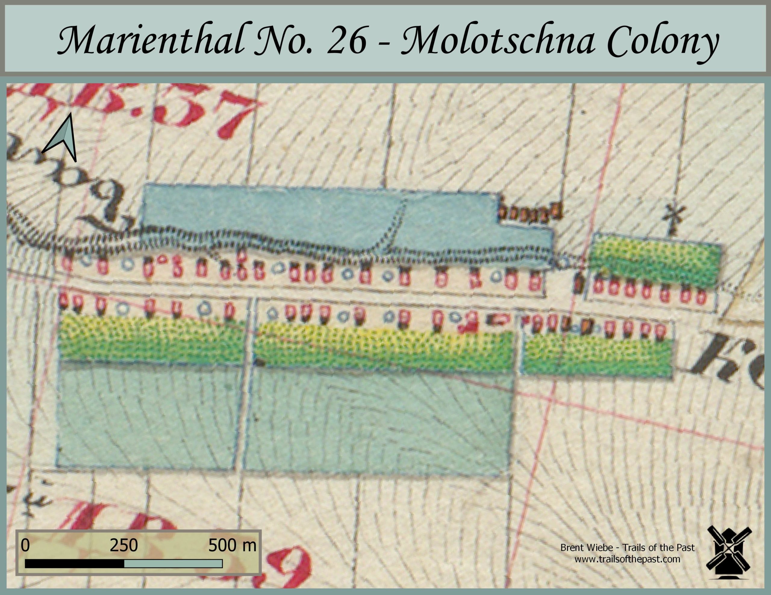
By 1857, 197 males and 182 females occupied 53 houses in Marienthal, for a total population of 397. In 1851, a few years before the map shown was made, there were 72, 432 trees in the village. Nearly half of these,34,068, were mulberry trees planted in hedges.
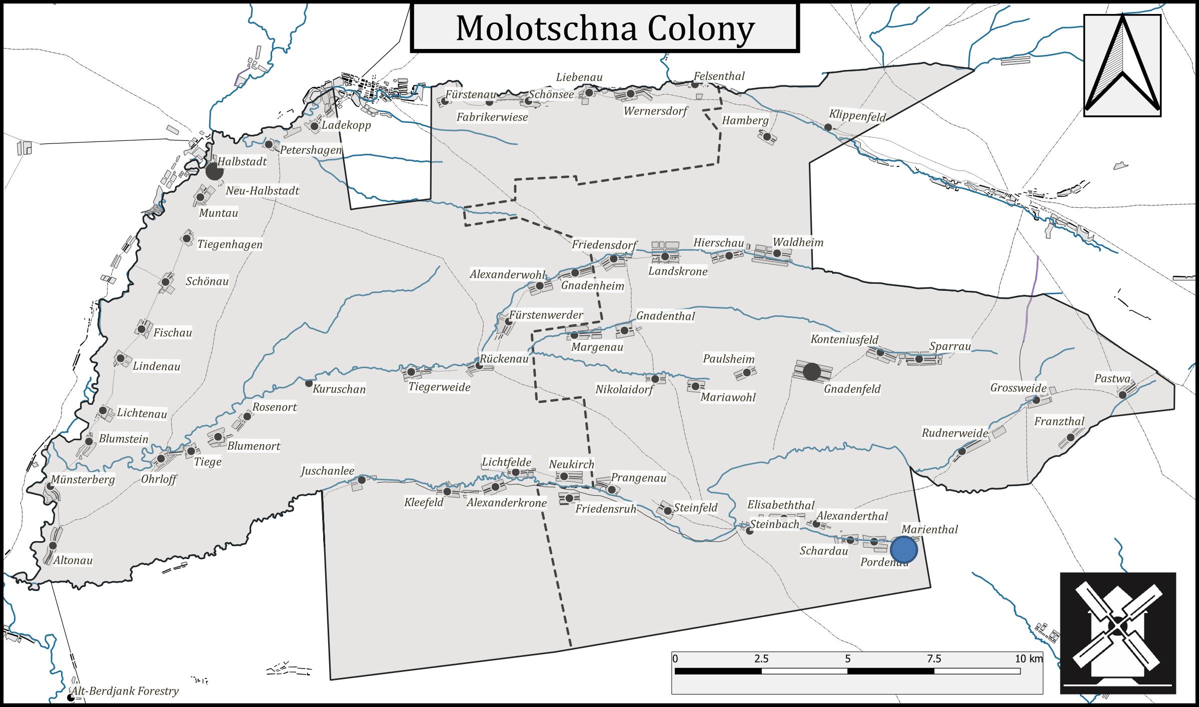
The beautifully coloured Russian maps featured here are from the 1850’s. Their purchase was made possible by the generous funding of the Plett Foundation.